http://www.badlogicgames.com/forum/viewtopic.php?f=11&t=24084&p=98276&hilit=gui+menu#p98276
Game menu always at bottom
![]() by Grzesiek » Wed Oct 26, 2016 7:56 pm
by Grzesiek » Wed Oct 26, 2016 7:56 pm
- Grzesiek
- Posts: 8
- Joined: Sun Oct 02, 2016 6:44 am
Re: Game menu always at bottom
![]() by evilentity » Wed Oct 26, 2016 8:03 pm
by evilentity » Wed Oct 26, 2016 8:03 pm
- evilentity
- Posts: 2947
- Joined: Wed Aug 24, 2011 11:37 am
Re: Game menu always at bottom
![]() by MMM1412 » Sun Oct 30, 2016 8:08 am
by MMM1412 » Sun Oct 30, 2016 8:08 am
'개발 > 게임' 카테고리의 다른 글
| Is Table the only layout that I can use in libgdx? (0) | 2016.11.05 |
|---|---|
| LibGDX 구조 (0) | 2016.11.03 |
| How can I map regions on a world map image? (0) | 2016.11.01 |

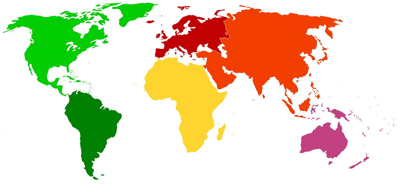
 . Then, pick a unique color for each country and flood fill it in paint or photoshop. Then, you have a simple file that just has the mapping of countries/provinces to particular colors. Just something like this: